
AI-assisted land surveying. Faster, more affordable, priced the same day.
Getting a surveyor out is only half the wait. The other half is the office work: turning field data into a finished survey can take a week or two. That's where we're different. Our crews capture your site with drones and AI-assisted mapping in less time. Then our own AI tools, built for survey work, help our surveyors prepare and deliver the finished survey much faster. You get professional scheduling, expedited turnaround, clear pricing and a written proposal the same day you reach out, with full visibility from first call to final delivery.
- Drone + AI, field-verified
- Reply in 1 business hour
- Same-day written quote
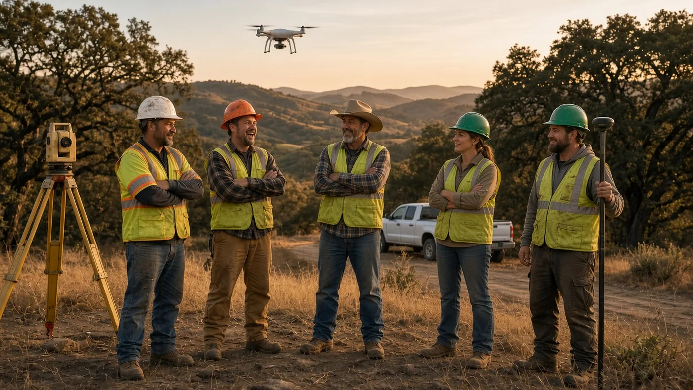
Start with a records review, not a field date.
Every proposal is based on a records review of your property. We reply within 1 business hour. A field date is set only after you accept the proposal.
What we need
The address, what the survey is for, and any deed, map, or title report you have.
What you get
A written proposal that names the deliverable: PDF, CAD, stakes, or a recorded map.
Choose the survey that fits the job
Start with the problem. We’ll point you to the right survey.
Expedited service
On a deadline? Tell us the date. We’ll tell you the same day what we can make happen.
Boundary survey
We find the property lines from deeds, maps, and monuments, and mark them so you know exactly where your line is.
ALTA/NSPS
A title survey for a purchase or a loan, so the deal can close on time with the items the lender and title ask for.
Topographic survey
A map of grades and visible features so a designer can plan an addition or get a permit approved.
Construction staking
Markers set from an approved plan so a contractor can build where the plan shows.
SB 9 lot split
Survey mapping for a state urban lot-split path on certain residential parcels. Qualification is a planning question; we map the split.
ADU / permit site plan
The lot-specific survey your designer needs so an ADU or addition application can be accepted.
FEMA elevation certificate
A signed form that reports how a building sits relative to the flood elevation. It is not a boundary survey.
Lot line adjustment
Moving a line between existing parcels without creating a new one, using the city or county process.
Certificate of Compliance
City or county confirmation that a parcel complies with the Subdivision Map Act — in everyday terms, that the lot was legally created.
More services
Parcel and subdivision maps, easement descriptions, as-builts, and corner records — see the full list.
Who we serve
Owners with one property, and the pros who send us the next five.
Homeowners
A fence going in, an addition, a flood certificate, or a question from the neighbor.
Agents, title, and lenders
The survey that keeps a sale or a loan moving, including ALTA/NSPS when the file needs it.
Architects and designers
Boundary, topo, and site plans in CAD for the permit set.
Builders, contractors, and prefab / ADU firms
Staking and site data so the crew builds to the plan, lot after lot.
Owners splitting or legalizing a lot
SB 9 mapping, a lot line adjustment, or a Certificate of Compliance.
A written proposal the same day
Every proposal is based on a records review of your property. We reply within 1 business hour.
What you get
Deliverables are named in the proposal so you know what you are buying.
A signed survey map or certificate you can share with a city, lender, neighbor, or designer.
CAD
Drawing files for architects and engineers when the scope calls for them.
Stakes
Field markers for property lines or construction layout, as scoped.
Recorded map
A Record of Survey or other county filing when the records and field work require it, plus county fees on a separate line.
Why Survey My Land
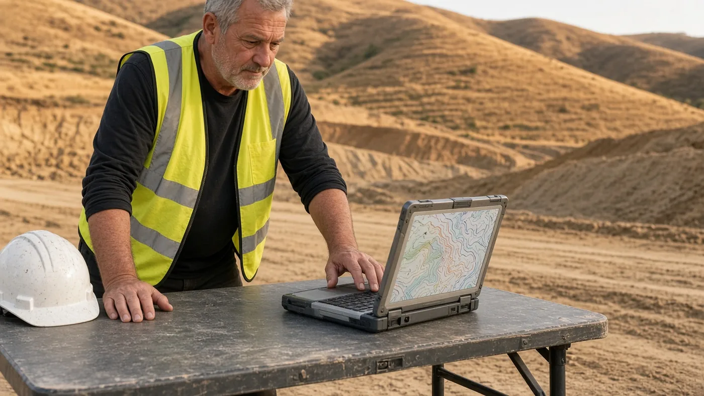
AI-assisted surveying: done sooner, for less, with pricing the same day.
AI-assisted surveying
Drones and AI mapping capture the site in a fraction of the field time. A surveyor checks every result against the records before it goes to you.
Local crews
We know the local records offices. You hear directly from the team that runs the work.
Delivered faster
The office work after the field visit usually takes a week or two. Our AI tools built for survey work cut that wait, so your finished survey arrives sooner. You hear back within 1 business hour and get a written proposal the same day.
How you’ll follow the work
After you accept a proposal, you can track the job through these steps. Field dates are set only after the records and the site are reviewed. Want to talk first? Book a call with Chris or Joe.
Records ordered
Deeds, maps, and title materials are pulled and reviewed.
Field scheduled
A crew date is set once access and records are clear.
Map in review
The drawing, description, or certificate is prepared and checked.
Filing / delivered
You receive the deliverables, and any required map is filed with the county.
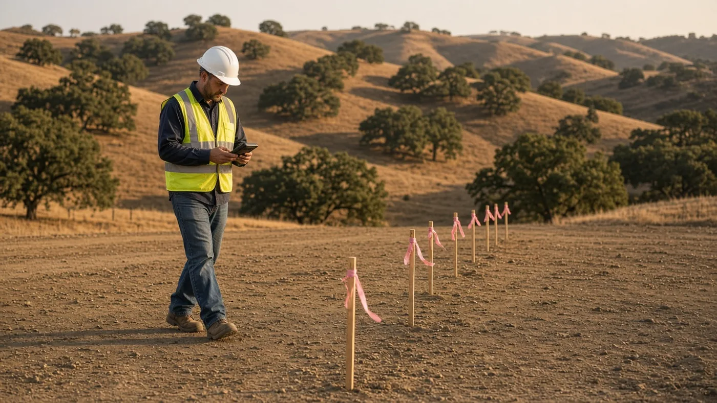
Drone-captured. AI-mapped. Field-verified.
Drones capture the site, AI speeds up the mapping, and our crews check it on the ground, so we cover the whole map accurately, professionally and fast, with a written quote the same day.
City pages: San Jose · San Francisco · Oakland · Palo Alto & Menlo Park · Fremont & the Tri-Valley · Walnut Creek & Concord · San Mateo & Burlingame · Berkeley & Albany · Gilroy & Morgan Hill · Sacramento · Elk Grove · Folsom · Davis · Woodland. All topics · Where we work.
Common questions
How do I start?
Request a proposal online, use the fast quote form, or book a call with Chris or Joe.
How fast do you reply?
Within 1 business hour. You get a written proposal the same day.
I’m on a deadline. Can you go faster?
Often, yes. Check “I need this fast” on the request form and give us the date. We’ll tell you the same day what we can make.
Is a proposal the same as a field date?
No. Field work is scheduled after you accept the proposal and we’ve reviewed the records and the site.
Where do you work?
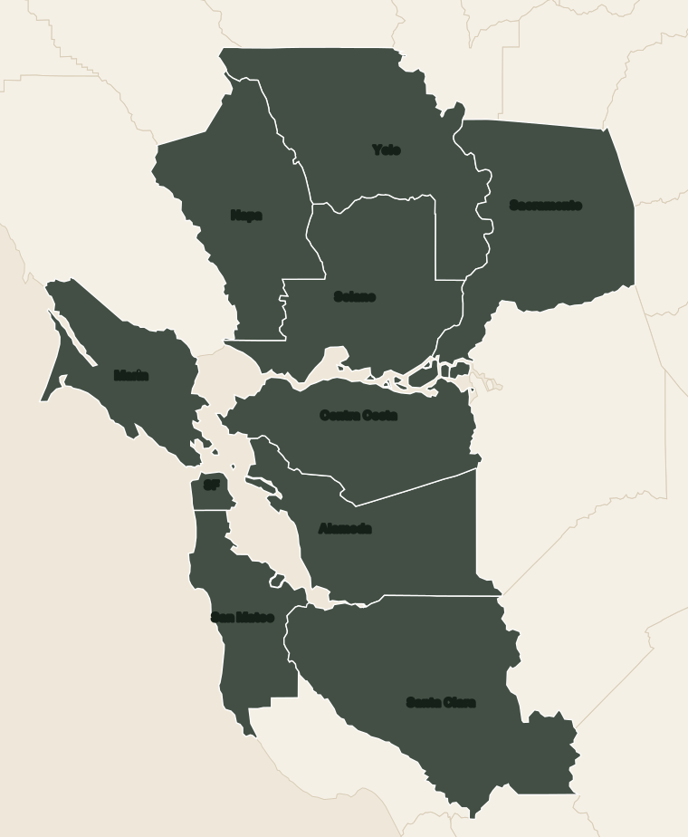
Every county shaded on our map. Send the address and we’ll confirm.
What should I send?
The address, what the survey is for, and any deed, prior survey, or title report you have.
What is a Certificate of Compliance?
City or county confirmation that the parcel was legally created. Read more.
Who will I talk to?
Chris or Joe. The booking form lets you choose.