Every proposal is based on a records review of your property.
Expedited service On a deadline
Escrow closing, a city deadline, or a crew waiting to dig? Check “I need this fast” on the request and give us the date. We’ll tell you the same day what we can make, and we move your job to the front of the line when the records and the site allow.
Request expedited service Get a quote fast Book a consultation
Boundary survey / record of survey
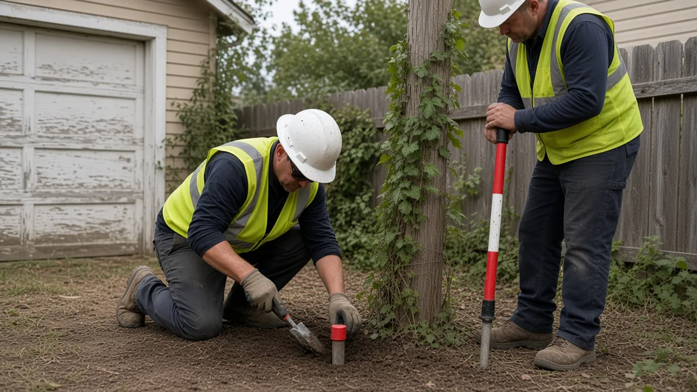
We find the property lines from deeds, maps, and monuments, and mark them so you know exactly where your line is. If the field work requires a Record of Survey, that map is a separate deliverable, and county filing fees are billed on their own line.
Request a proposal Book a consultation
Corner record
A shorter county filing used when certain corners are established or restored, or when a retracement finds enough original monumentation that a full Record of Survey is not required.
Request a proposal Book a consultation
ALTA/NSPS land title survey
A survey for a commercial purchase or a loan, combining the boundary with the items the title company and the lender ask for, so the deal can close on time. Residential fence jobs are not this product.
Request a proposal Book a consultation
Topographic survey
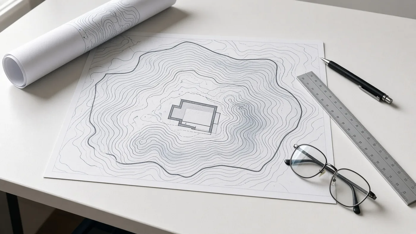
A map of the site’s shape and visible features — contours, elevations, buildings, walls, and surface utilities as agreed — so an architect or builder can design, grade, or get a permit approved. It is often combined with a boundary survey.
Request a proposal Book a consultation
Construction staking
Markers set from an approved plan so a contractor can build walls, foundations, curbs, or utilities where the plan shows them.
Request a proposal Book a consultation
Lot line adjustment
Moving a line between existing parcels without creating a new one, using the city or county process. The proposal will name the map or exhibit that process needs.
Request a proposal Book a consultation
Certificate of Compliance
The city or county’s written confirmation that a lot was legally created — often needed before a sale, a loan, or a permit can move ahead. We research the deeds and maps and prepare the application and exhibits; the city or county reviews the package and, if approved, records the certificate. County review fees are billed separately.
Request a proposal Book a consultation
Tentative, parcel, and subdivision maps
The maps used to divide land. A parcel map is the usual path for a smaller split. A tract or final map is the path for a larger one.
Request a proposal Book a consultation
FEMA elevation certificate
A signed form that reports how a building sits relative to the flood elevation on the flood map — what lenders and insurers ask for.
Request a proposal Book a consultation
Easement plats and legal descriptions
A drawing and a written description of an easement, a lot line, or another interest, ready for a deed or an agreement.
Request a proposal Book a consultation
As-built survey
A map of what was built, as opposed to what the plan proposed — used for closeout, condos, and related checks.
Request a proposal Book a consultation
SB 9 urban lot split
Survey mapping for a state lot-split path on certain residential parcels. Qualification is a planning question; we map the split.
Request a proposal Book a consultation
ADU / permit site plan
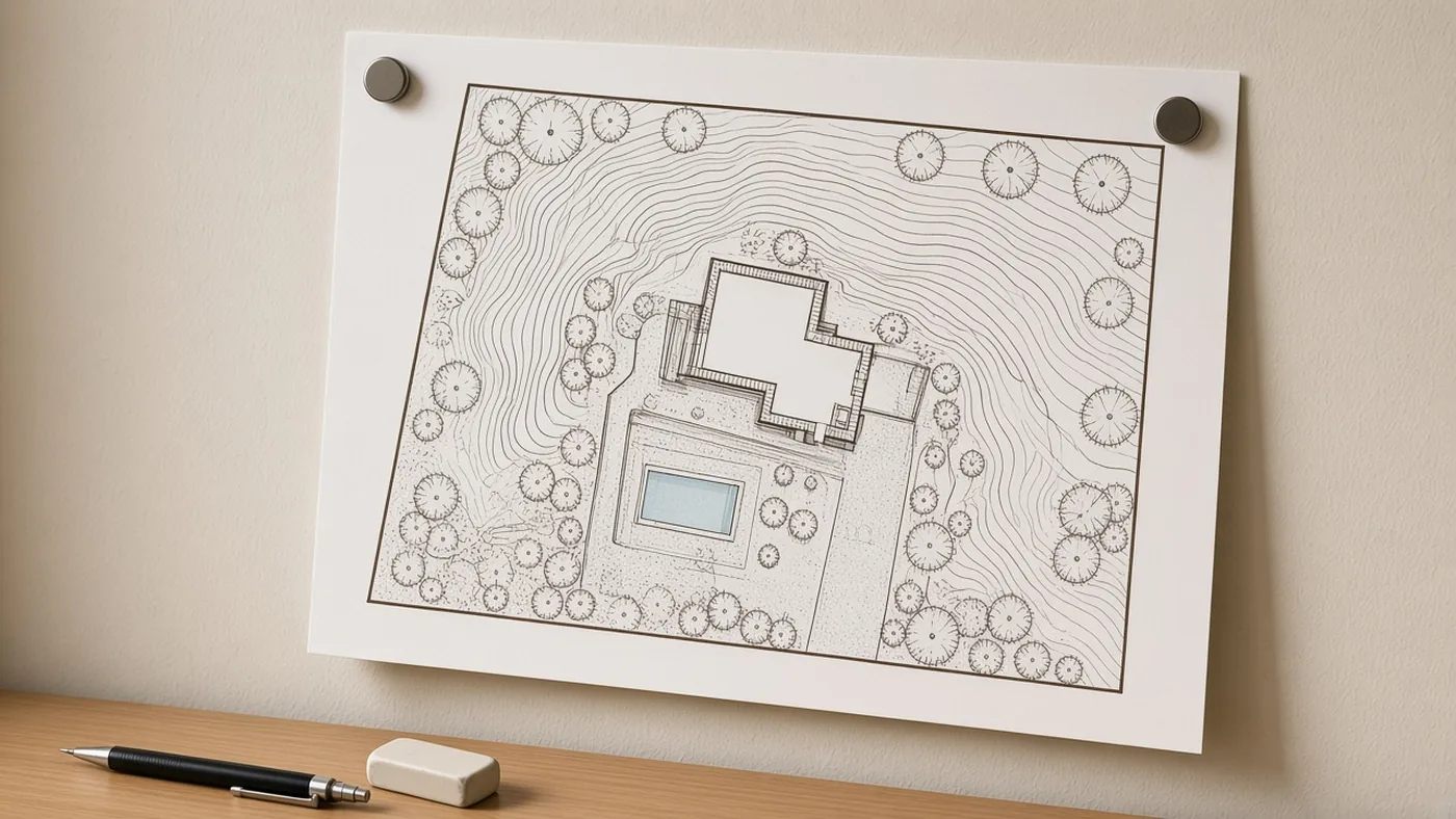
A current boundary and topo, or a site plan, that a city asks for before it will take an ADU or addition application — the lot-specific survey your designer needs to get the permit approved.
Request a proposal Book a consultation
Not sure which survey you need?
Tell us the problem. We’ll name the right survey in a written proposal the same day.