Base mapping your design team can build on.
Boundary, topo, and site plans for the permit set, in CAD and PDF. Local surveyors with drones and AI-assisted mapping, so you get the site data sooner. We reply within 1 business hour and send a written proposal the same day.
- Drone + AI, field-verified
- Reply in 1 business hour
- Same-day written proposal
What we need from you
- Property address or APN
- Project type: addition, ADU, new home, or remodel
- The city or county’s survey requirements, or a comment letter
- Your CAD setup: units, layers, and vertical datum, if you have a standard
- The date you need the base map
What you get
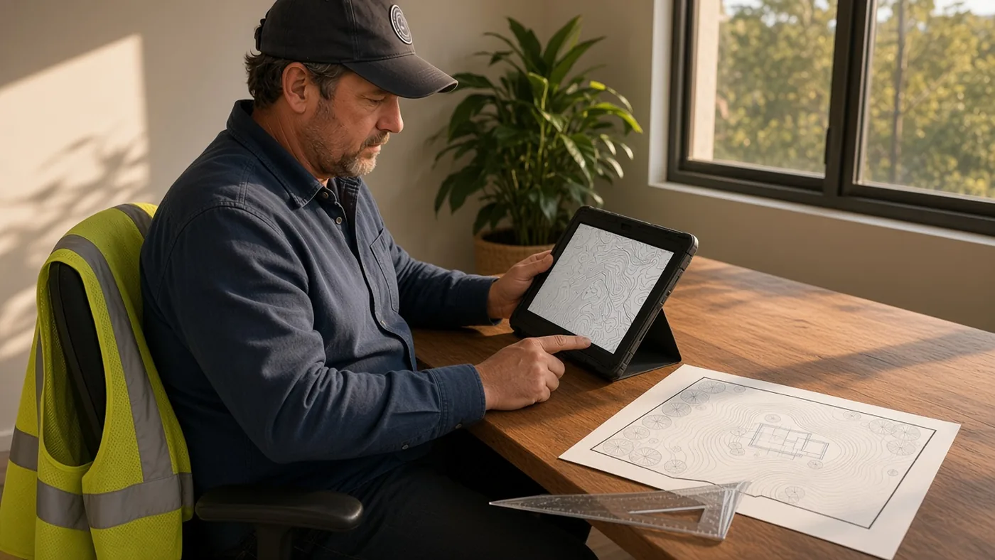
- Boundary and topographic survey for the design
- ADU or permit site plan the city will accept
- CAD files and a signed PDF
- Trees, structures, and surface utilities as scoped
- Construction staking later, from the approved set
Repeat work, one point of contact
If you send us projects regularly, Chris or Joe stays your contact on each one. Same intake, same deliverable format, and a proposal the same day.
Good to know
- Topo vs. boundary — topo maps the site; boundary fixes the lines. Most permit sets need both.
- On a deadline? — check “I need this fast” on the request.
How it works
Request
Send the address, the plans or scope, and your date.
Same-day proposal
Based on a records review of the property. We reply within 1 business hour.
Field work
Scheduled once you accept and the records and site are reviewed.
Deliverable
CAD, PDF, stakes, or a recorded map — whatever the proposal names.
Why work with us
Drone + AI assisted
Drones and AI-assisted mapping capture the site quickly. A surveyor checks every result before it goes to you.
Local crews
We know the local records offices. You deal with Chris or Joe on every project.
Fast deployment
Reply in 1 business hour, proposal the same day, and a crew out as soon as the records and site allow.
Drone-captured. AI-mapped. Field-verified.
Drones capture the site, AI speeds up the mapping, and our crews check it on the ground, so we cover the whole map accurately, professionally and fast, with a written quote the same day.