Stakes and site data that keep your crew on schedule.
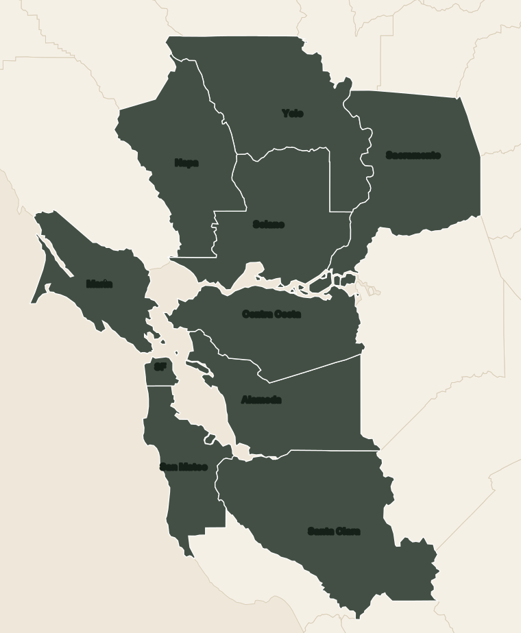
Topo, site plans, construction staking, and as-builts for custom builders, general contractors, and prefab, panelized, and ADU builders. Local crews with drones and the latest field gear, so we get out to the lot fast. We reply within 1 business hour and send a written proposal the same day.
- Drone + AI, field-verified
- Reply in 1 business hour
- Same-day written proposal
What we need from you
- Property address or APN
- The approved plan set, or the current revision
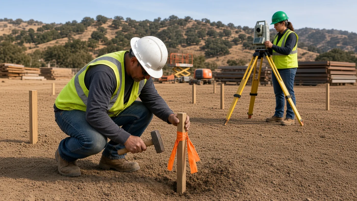
- What has to be staked: corners, offsets, grades, utilities, limits of work
- Site access and who to call on site
- Your schedule window
What you get
- Boundary and topo for the permit set
- Site plan for the permit
- Construction staking from the approved plans
- As-built surveys for closeout
- CAD files and a signed PDF
Prefab, panelized, and ADU builders
The house may be built in a factory, but it still has to land on a specific lot. We handle the lot side: boundary, topo, setbacks, pad and foundation layout, and the as-built. If a project includes a lot split or a legality question, we also map SB 9 splits, lot line adjustments, and Certificates of Compliance.
For repeat builders
- One contact — Chris or Joe on every project
- Same-day proposals — based on a records review of each lot
- On a deadline? — check “I need this fast” on the request
How it works
Request
Send the address, the plans or scope, and your date.
Same-day proposal
Based on a records review of the property. We reply within 1 business hour.
Field work
Scheduled once you accept and the records and site are reviewed.
Deliverable
CAD, PDF, stakes, or a recorded map — whatever the proposal names.
Why work with us
Drone + AI assisted
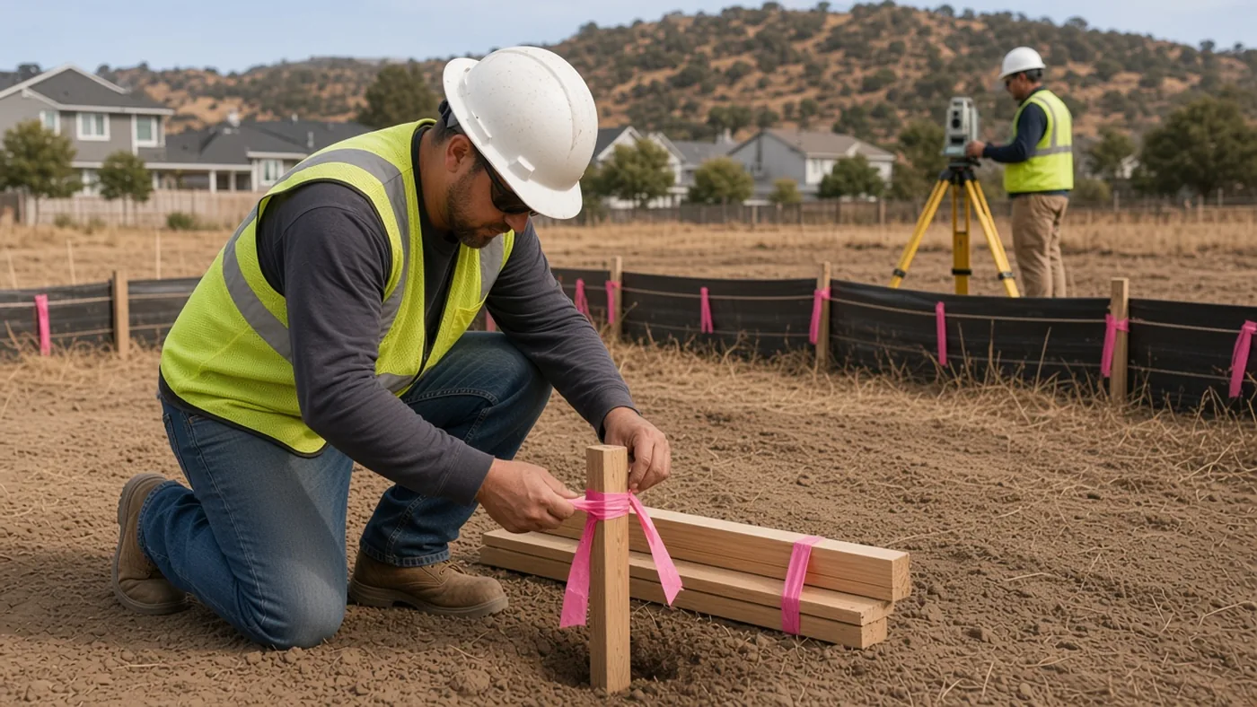
Drones and AI-assisted mapping capture the site quickly. A surveyor checks every result before it goes to you.
Local crews
We know the local records offices. You deal with Chris or Joe on every project.
Fast deployment
Reply in 1 business hour, proposal the same day, and a crew out as soon as the records and site allow.
Drone-captured. AI-mapped. Field-verified.
Drones capture the site, AI speeds up the mapping, and our crews check it on the ground, so we cover the whole map accurately, professionally and fast, with a written quote the same day.