
Elevation certificates for flood insurance and permit questions.
A FEMA elevation certificate documents how a building sits relative to the mapped flood elevation — the signed form insurers and permit offices ask for. We reply within 1 business hour, and you’ll get a written proposal the same day.
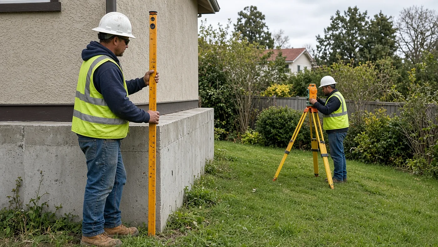
Lenders, insurers, and sometimes a permit counter ask for an elevation certificate when a house or a commercial building sits in or near a mapped floodplain. The work is a defined field measurement at the foundation and related points, not a full topographic survey and not a boundary retracement, unless you also need those products.
Share the parcel, any flood or insurance paperwork you already have, and why the certificate was requested. We will confirm the scope in the proposal. If a related recorded map is involved, county filing fees are billed on a separate line.
Every proposal is based on a records review of your property. We reply within 1 business hour.