
Topographic surveys for architects and builders.
A topographic survey gives your architect or builder the grades and visible features they need to design, grade, or get a permit approved. We reply within 1 business hour, and you’ll get a written proposal the same day.
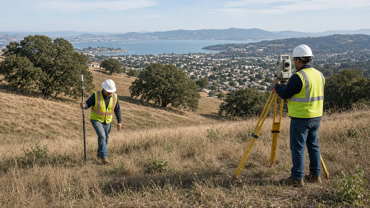
The usual client is an architect, a civil designer, or a builder who just took a contract on a Bay Area lot and cannot place the work from a tax map. Hills, odd lots, trees, and old walls are why “it looks flat enough” fails. We ask what the deliverable must include — contour interval, trees, utilities that are visible, finished floor, datum — and we write that into the proposal.
On many residential jobs the topo is combined with a boundary so setbacks are real. Construction staking, if you need it later, is a separate product once plans are approved. FEMA elevation certificates are also separate, and only when the flood-insurance or permit path actually calls for one.
County filing fees, if a recorded map is later required, are billed on a separate line.
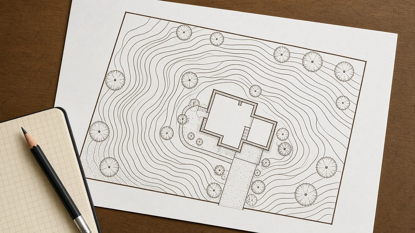
Every proposal is based on a records review of your property. We reply within 1 business hour.