
What a boundary survey includes in the Bay Area.
A boundary survey retraces your property lines from the deed, the recorded maps, and the monuments in the field, then marks the corners so you know exactly where your line is. We reply within 1 business hour, and you’ll get a written proposal the same day.
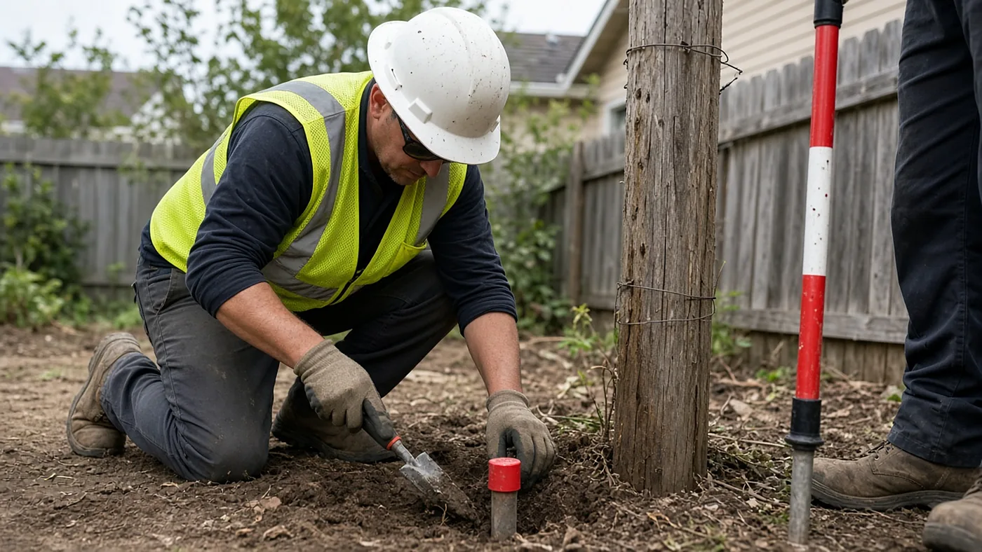
The work has a research half and a field half. We pull the deeds and maps that control the parcel, look for prior surveys, and then go to the lot to find or set monuments and mark the line. What you receive is typically a drawing in PDF and, when scoped, CAD, plus stakes or monuments as the proposal describes. A neighbor’s survey of the next lot is evidence, not a substitute for this work.
Sometimes the field survey of a boundary discloses conditions that require a Record of Survey to be filed with the county. That map is a separate deliverable from the field work. If a Record of Survey is required, that map is a separate deliverable, and county filing fees are billed on their own line.
We do this work in every county on our map. Tell us the address, the assessor parcel number if you have it, the purpose (fence, sale, permit, dispute), and any real deadline.
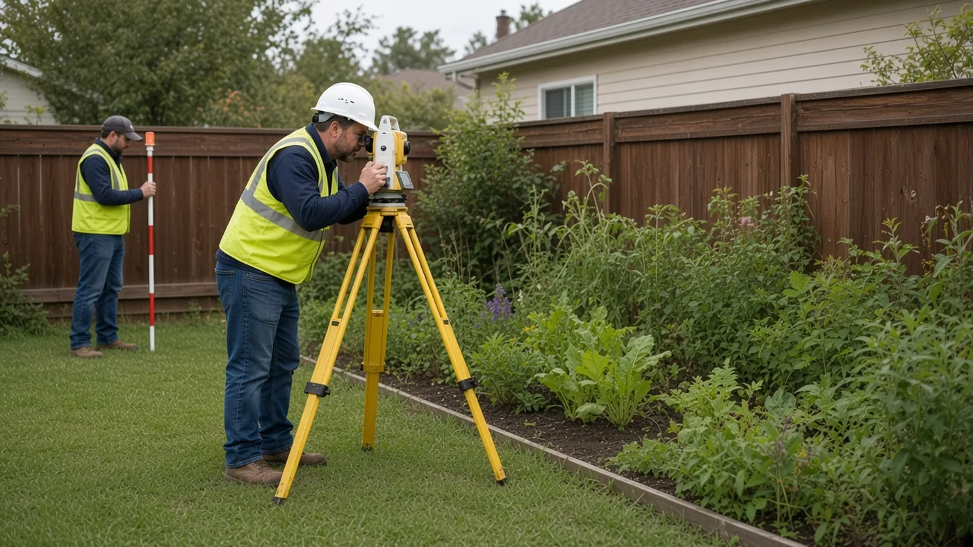
Every proposal is based on a records review of your property. We reply within 1 business hour.