
Lot line adjustment surveys and mapping.
A lot line adjustment moves a line between existing parcels without creating a new one. We survey and map what the city or county process needs. We reply within 1 business hour, and you’ll get a written proposal the same day.
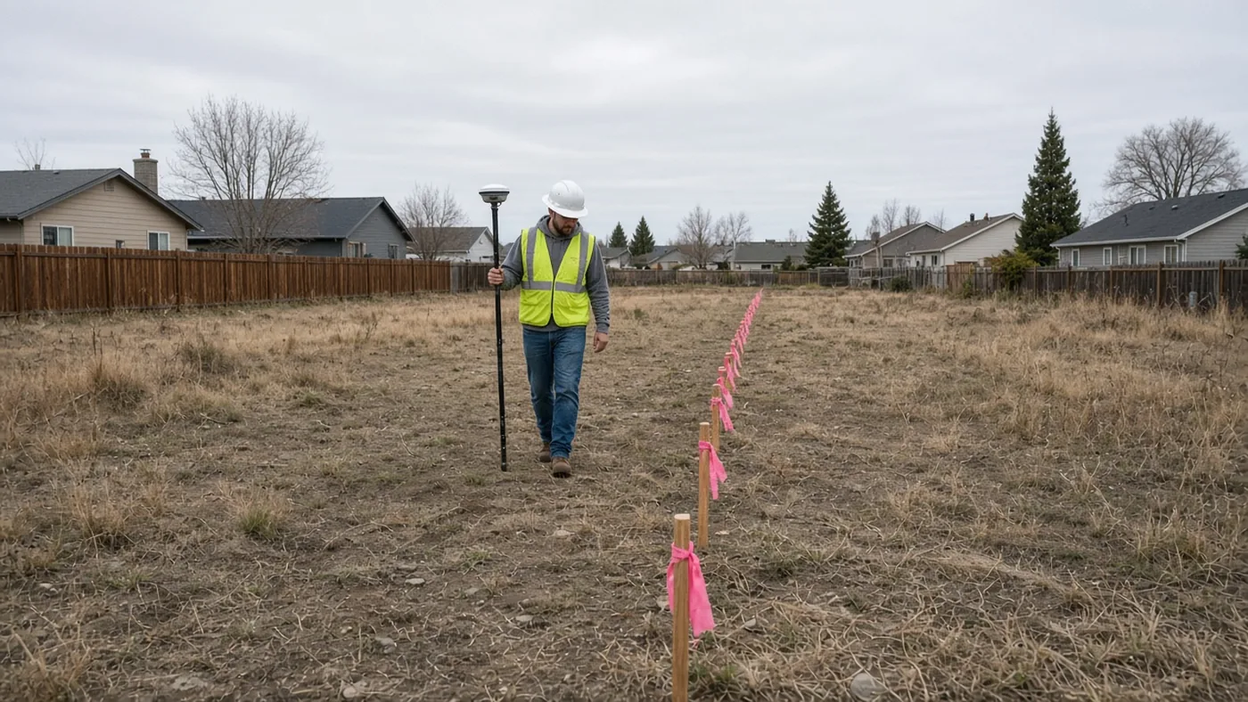
Owners usually want an adjustment because a building, a driveway, or a usable yard sits awkwardly across a line they already own on both sides, or because two parcels should be cleaned up before a sale or a project. The survey has to show the existing lots, the proposed line, and the record that controls them. Whether the city or the county will approve the adjustment is a planning question; we provide the mapping that supports the application.
This is not an SB 9 split and not a parcel map. If you are unsure which path you are on, say so on the form. The proposal will name the product after we review the deeds and maps. County filing fees, when they apply, are billed on a separate line.
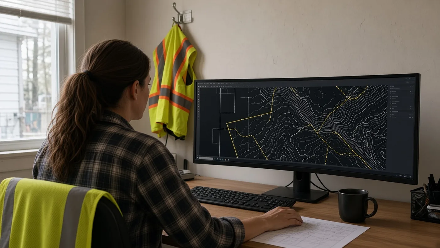
Every proposal is based on a records review of your property. We reply within 1 business hour.
Not sure your lot was legally created? A Certificate of Compliance may be a first step.